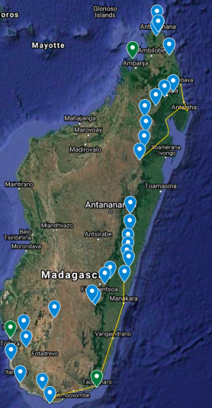
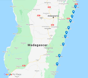
Excursie cu bicicleta de 40 de zile prin tot Madagascarul de sus până jos (Ruta 1 - Minuni sălbatice la distanță)
Odisee serioasă pe bicicletă de 2 luni, camping-sprijin și glamping, în părțile cele mai puțin vizitate ale insulei, vârf în picioare, în cele mai bune locuri ale sale.
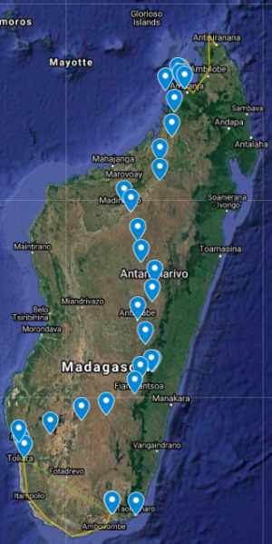
Excursie cu bicicleta de 40 de zile prin tot Madagascarul de sus în jos (traseul 2 - Axa Culturală Centrală)
Excursie de 2 luni prin toată insula în principalele orașe și situri culturale - Opțiunea de traseu 2.
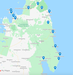
Tur cu adevărat la distanță din Madagascar: Noy Be to the Real Ultima Frontier of Madagascar | Conector la Maroansetra
Excursie de aventură de explorare foarte dură și serioasă din Nosy Be sud, unde nu merg turiști și unde există puțină până la zero infrastructură. Drumul parcurs mai puțin (sau niciodată). Aceasta este cea mai grea excursie pe care o puteți face în țară și cea mai îndepărtată zonă cu oamenii cel mai puțin vizitați de turiștii din afară.
Madagascar Real Frontier Tour: Overlanding by Off-Road Car and Canal Boat from Tamatave South to Farafangana and Manakara
Very rough and real serious exploratory adventure trip from Tamatave south, where no tourists go and where there is little to zero infrastructure. The road less (or never) traveled.
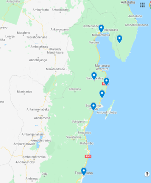
Madagascar Real Frontier Tour: Overlanding by Off-Road Car from Tamatave North to Maroansetra and Masoala
Very rough and real serious exploratory adventure trip from Tamatave north, where no tourists go and where there is little to zero infrastructure. The road less (or never) traveled.
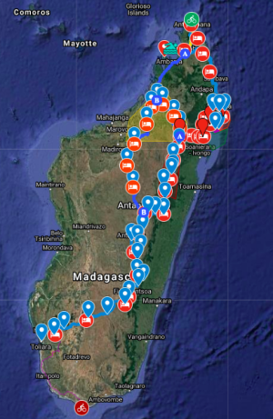
Madathon Marathon: Kayak Hike and Bike Through all of Madagascar Overland
2 month trip combining cycling, jungle hiking, trekking, sea kayaking, and road cycling all of Madagascar from top to bottom, in style

