
Circuit cycliste de 40 jours à travers Madagascar (Route 1 - Merveilles sauvages et reculées)
Odyssée sérieuse de 2 mois à vélo, accompagnée et en glamping-camping, à travers les parties les moins visitées de l'île, de la pointe aux pieds, à travers ses meilleurs sites.

Voyage à vélo de 40 jours à travers tout Madagascar de haut en bas (Route 2 - Axe culturel central)
Voyage de 2 mois à travers toute l'île dans les principales villes et sites culturels - Option 2 de l'itinéraire.
 – Overlanding by Off-Road Car from Nosy Be South to Maroansetra and Masoala")
Circuit dans les contrées les plus reculées de Madagascar : de Nosy Be à la frontière terrestre de Madagascar | Liaison vers Maroansetra
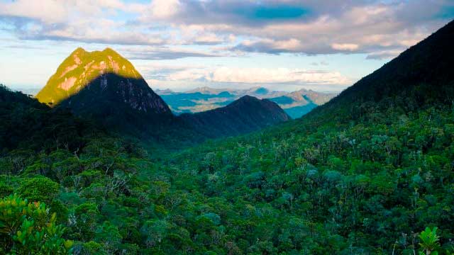
Un voyage d'exploration très rude et vraiment sérieux au départ du sud de Nosy Be, où les touristes sont absents et où les infrastructures sont rares, voire inexistantes. La route la moins fréquentée (voire jamais). C'est le voyage le plus difficile du pays, et la région la plus reculée, la moins fréquentée par les touristes étrangers.

Madagascar Real Frontier Tour: Overlanding by Off-Road Car and Canal Boat from Tamatave South to Farafangana and Manakara
Very rough and real serious exploratory adventure trip from Tamatave south, where no tourists go and where there is little to zero infrastructure. The road less (or never) traveled.

Madagascar Real Frontier Tour: Overlanding by Off-Road Car from Tamatave North to Maroansetra and Masoala
Very rough and real serious exploratory adventure trip from Tamatave north, where no tourists go and where there is little to zero infrastructure. The road less (or never) traveled.

Madathon Marathon: Kayak Hike and Bike Through all of Madagascar Overland
2 month trip combining cycling, jungle hiking, trekking, sea kayaking, and road cycling all of Madagascar from top to bottom, in style