
40 dages understøttet cykeltur på tværs af hele Madagaskar top til bund (rute 1 - fjerntliggende vilde vidundere)
2 måneders seriøs cykel-odyssé, støttet og glamping-camping, på tværs af de mindst besøgte dele af øen, fra spids til tå, på tværs af dens bedste steder.

40 dages understøttet cykeltur på tværs af hele Madagaskar top til bund (rute 2 - Central Cultural Axis)
2 måneders tur på tværs af hele øen i de vigtigste kulturelle byer og steder - Rutemulighed 2.
 – Overlanding by Off-Road Car from Nosy Be South to Maroansetra and Masoala")
Really Rough Remote Madagascar Tour: Nosy Be to the Real Last Frontier of Madagascar | Forbindelse til Maroanetra
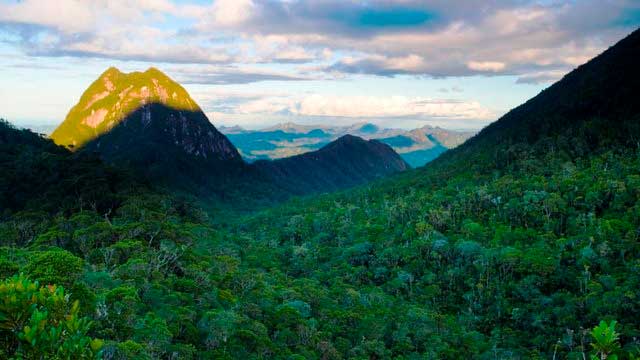
Meget barsk og rigtig seriøs udforskende eventyrtur fra Nosy Be syd, hvor ingen turister går, og hvor der er lidt til nul infrastruktur. Vejen rejste mindre (eller aldrig). Dette er den hårdeste tur, du kan tage på i landet, og det mest afsidesliggende område med de mennesker, der er mindst besøgt af turister udefra.

Madagascar Real Frontier Tour: Overlanding by Off-Road Car and Canal Boat from Tamatave South to Farafangana and Manakara
Very rough and real serious exploratory adventure trip from Tamatave south, where no tourists go and where there is little to zero infrastructure. The road less (or never) traveled.

Madagascar Real Frontier Tour: Overlanding by Off-Road Car from Tamatave North to Maroansetra and Masoala
Very rough and real serious exploratory adventure trip from Tamatave north, where no tourists go and where there is little to zero infrastructure. The road less (or never) traveled.

Madathon Marathon: Kayak Hike and Bike Through all of Madagascar Overland
2 month trip combining cycling, jungle hiking, trekking, sea kayaking, and road cycling all of Madagascar from top to bottom, in style