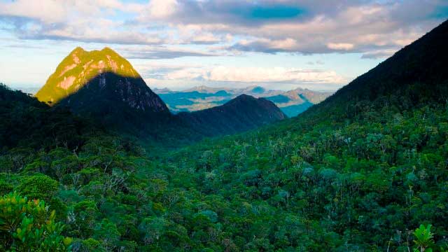

Madagascar Real Frontier Tour: Overlanding by Off-Road Car and Canal Boat from Tamatave South to Farafangana and Manakara
Very rough and real serious exploratory adventure trip from Tamatave south, where no tourists go and where there is little to zero infrastructure. The road less (or never) traveled.

Echt ruige afgelegen Madagaskar-tour in noordelijke richting: Tamatave naar Maroantsetra/Masoala per terreinwagen
Zeer ruige en echt serieuze avontuurlijke ontdekkingstocht vanuit Tamatave naar het noorden, waar geen toeristen komen en waar weinig tot geen infrastructuur is. De minder (of nooit) bereisde weg.