

정말 험난한 외딴 마다가스카르 투어 남쪽으로: 타마타베에서 파라팡가나까지 자동차와 운하로
타마타브 남쪽에서 매우 거칠고 진짜 진지한 탐험 모험 여행으로, 관광객이 없고 인프라가 거의 없거나 전혀 없습니다. 도로는 덜 (또는 전혀) 여행되었습니다.

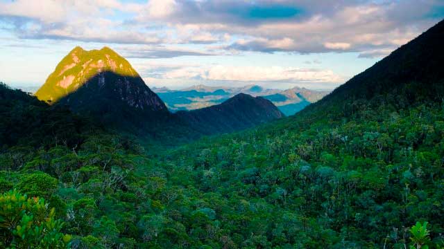
Madagascar Real Frontier Tour: Overlanding by Off-Road Car from Tamatave North to Maroansetra and Masoala
Very rough and real serious exploratory adventure trip from Tamatave north, where no tourists go and where there is little to zero infrastructure. The road less (or never) traveled.