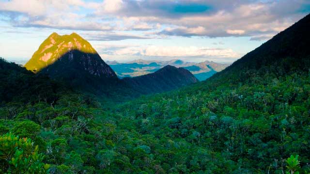

本当に過酷なマダガスカルの遠隔地南行きツアー:車と運河でタマタベからファラファンガナへ
観光客がほとんど来ず、インフラもほとんどないタマタブ南部からの、非常に過酷で真剣な探検アドベンチャー旅行。あまり(または全く)通っていない道。

Madagascar Real Frontier Tour: Overlanding by Off-Road Car from Tamatave North to Maroansetra and Masoala
Very rough and real serious exploratory adventure trip from Tamatave north, where no tourists go and where there is little to zero infrastructure. The road less (or never) traveled.