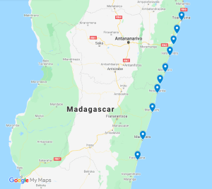
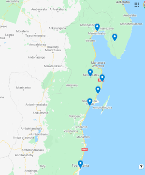
Tour del Madagascar remoto davvero duro verso sud: da Tamatave a Farafangana in auto e canale
Viaggio esplorativo avventuroso molto duro e serio da Tamatave a sud, dove non vanno turisti e dove ci sono poche o nessuna infrastruttura. La strada meno (o mai) percorsa.
Tour remoto del Madagascar davvero rude in direzione nord: Da Tamatave a Maroantsetra/Masoala in fuoristrada
Viaggio d'avventura esplorativo molto rude e davvero serio da Tamatave verso nord, dove non vanno i turisti e dove le infrastrutture sono scarse o nulle. La strada meno (o mai) percorsa.


